top of page

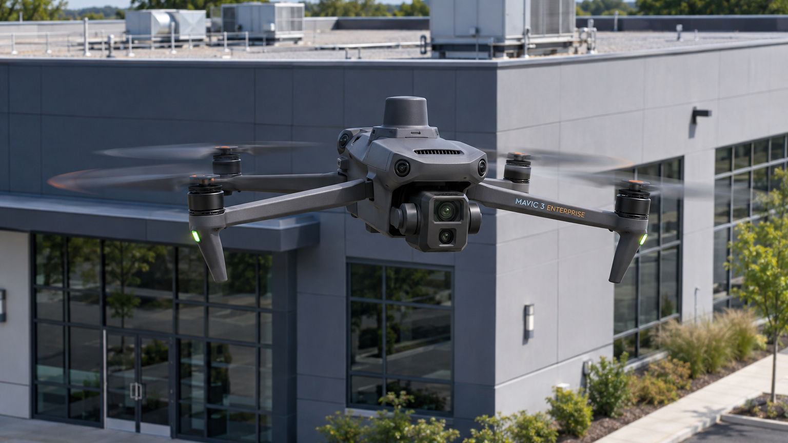
Property Inspections
High-resolution aerial imagery of commercial roofs, building exteriors, and infrastructure to document visible conditions, damage, and maintenance concerns.

Aerial Mapping
Drone-based photogrammetry, orthomosaic maps, and 3D models for property documentation, site planning, and engineering support.

Construction Documentation
Aerial photography and video to document construction progress, site conditions, completed work, and project milestones.
Our Services
Veteran-Owned Precision
Aerial Support is a veteran-owned drone services company based in New Jersey. We bring military discipline, careful planning, and FAA Part 107 compliant operations to every commercial project across the Northeast.
bottom of page